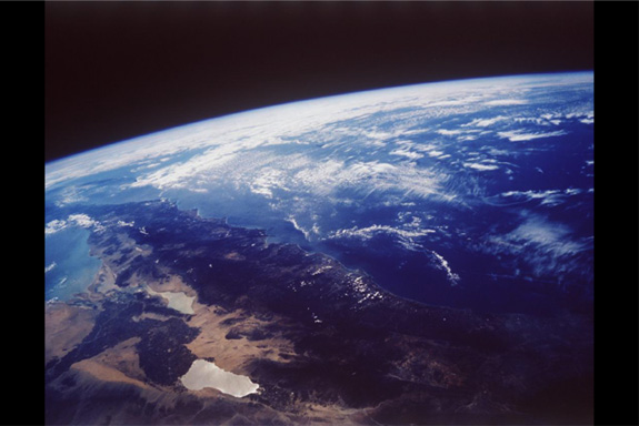
Exploration commonly begins with analysis of satellite images and aerial photographs.
Slide 17 of 122
,
© 2000 Geothermal Education Office